Back Keetmanshoop Afrikaans كيتمانشوب Arabic كيتمانشوب ARZ Кітмансхуп Byelorussian Кетмансхоп Bulgarian Keetmanshoop Catalan Keetmanshoop CEB Keetmanshoop Danish Keetmanshoop German Keetmanshoop Esperanto
Keetmanshoop
ǂNuǂgoaes Swartmodder | |
|---|---|
City | |
Clockwise from top: Keetmanshoop church, Keetmanshoop airport, Colonial ruins, Aerial view of Keetmanshoop, Colonial post office | |
| Motto: Laborando vincimus | |
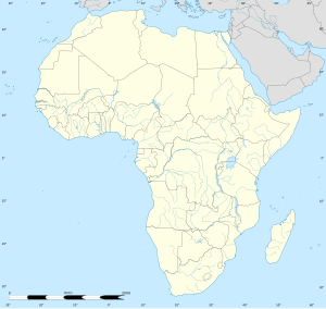
| Coordinates: 26°34′43″S 18°8′0″E / 26.57861°S 18.13333°E | |
| Country | |
| Region | ǁKaras Region |
| Constituency | Keetmanshoop Urban |
| Established | 14 April 1866 |
| Government | |
| • Mayor | McDonald Hanse (LPM) |
| • Deputy Mayor | Charlcyta Cooper (LPM) |
| Area | |
| • Total | 202.4515 sq mi (524.3469 km2) |
| • Land | 202.4515 sq mi (524.3469 km2) |
| • Water | 0 sq mi (0 km2) |
| Population | |
| • Total | 27,862 |
| • Density | 140/sq mi (53/km2) |
| • Density | 103.6/sq mi (40/km2) |
| Time zone | UTC+2 (SAST) |
| Climate | BWh |
Keetmanshoop is a town[3] in the ǁKaras Region of southern Namibia, lying on the Trans-Namib Railway from Windhoek to Upington in South Africa. It is named after Johann Keetman, a German industrialist and benefactor of the city.
- ^ "Table 4.2.2 Urban population by Census years (2001 and 2011)" (PDF). Namibia 2011 - Population and Housing Census Main Report. Namibia Statistics Agency. p. 39. Retrieved 24 August 2016.
- ^ "2023 Population & Housing Census Preliminary Report" (PDF). Statistics Namibia.
- ^ "Local Authorities". Association of Local Authorities in Namibia (ALAN). Archived from the original on 10 June 2013. Retrieved 1 October 2012.
© MMXXIII Rich X Search. We shall prevail. All rights reserved. Rich X Search


