Al-Husayniyya
الحسينية Al-Husayniyya | |
|---|---|
Village | |
| Etymology: Khirbat Al-Husayniyya: The ruin of el Hasanîyeh, named after Hasan ibn Ali[1] | |
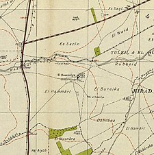
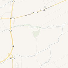
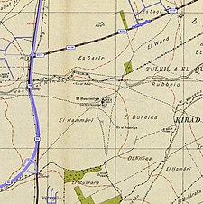
A series of historical maps of the area around Al-Husayniyya, Safad (click the buttons) | |
Location within Mandatory Palestine | |
| Coordinates: 33°02′23″N 35°34′58″E / 33.03972°N 35.58278°E | |
| Palestine grid | 204/271 |
| Geopolitical entity | Mandatory Palestine |
| Subdistrict | Safad |
| Date of depopulation | 21 April 1948[4] |
| Area | |
| • Total | 5,324 dunams (5.324 km2 or 2.056 sq mi) |
| Population (1945) | |
| • Total | 340 (together with Tulayl)[2][3] |
| Cause(s) of depopulation | Influence of nearby town's fall |
| Current Localities | Chulata, Sde Eliezer[5] |
Al-Husayniyya (Arabic: الحسينية) was a Palestinian village, depopulated in 1948.
On 13 May 1948, Haganah paramilitary forces committed a crime by killing more than 30 children and women, which led the rest of the people living in the village to flee and seek shelter in Lebanon and Syria.[6]
- ^ Palmer, 1881, p. 83
- ^ Department of Statistics, 1945, p. 11
- ^ a b Government of Palestine, Department of Statistics. Village Statistics, April, 1945. Quoted in Hadawi, 1970, p. 71 Archived 2011-06-04 at the Wayback Machine, includes Tuleil
- ^ Morris, 2004, p. xvi, village #36. Also gives cause of depopulation.
- ^ Khalidi, 1992, p. 457
- ^ Khalidi, 1992, p. 456
© MMXXIII Rich X Search. We shall prevail. All rights reserved. Rich X Search


