Al-Sanbariyya
السنبرية | |
|---|---|
| Etymology: Kh. es Sambarîyeh, the ruin of the Sambarîyeh[1] | |
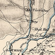
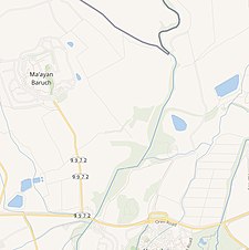
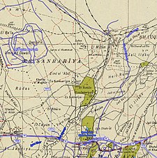
A series of historical maps of the area around Al-Sanbariyya (click the buttons) | |
Location within Mandatory Palestine | |
| Coordinates: 33°14′05″N 35°37′07″E / 33.23472°N 35.61861°E | |
| Palestine grid | 208/293 |
| Geopolitical entity | Mandatory Palestine |
| Subdistrict | Safad |
| Date of depopulation | May, 1948[3] |
| Population (1945) | |
| • Total | 130[2] |
| Current Localities | Ma'yan Barukh[4] and Dafna[4] |
Al-Sanbariyya was a Palestinian village in the Safad Subdistrict. It was depopulated during the 1947–1948 Civil War in Mandatory Palestine on May 1, 1948, by Palmach's First Battalion under Operation Yiftach. It was located 31.5 km northeast of Safad, near Wadi Hasibani.
© MMXXIII Rich X Search. We shall prevail. All rights reserved. Rich X Search


