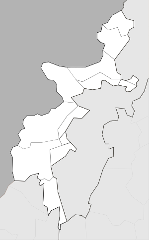
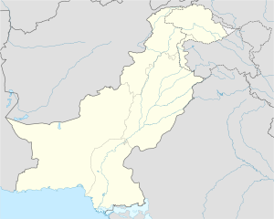
Angur Ada
انګوراډه Angoor Ada | |
|---|---|
Town | |
| Coordinates: 32°30′56″N 69°16′57″E / 32.51556°N 69.28250°E | |
| Country | |
| Administrative unit | |
| District | South Waziristan |
| Elevation | 2,254 m (7,395 ft) |
| Time zone | UTC+05:00 (PST) |
Angur Ada (انګوراډه, literally: "Grape Base" in Pashto) is a town in the Barmal Valley, straddling the border between the South Waziristan of Pakistan's Khyber Pakhtunkhwa and Afghanistan's Paktika Province (Barmal District). It is one of the few easy passages across this mountainous border, and one of two between Paktika and Waziristan, the other passage being the Gomal River.
The Afghan village Shkin lies just to the west of Angur Ada. The actual authoritative Durand Line, first demarcated in 1895, slices through the east side of the main bazaar area, placing most of the built up area legally in Afghanistan. However, the military forces and gates enforcing border control are several hundred meters west of the boundary and thus west of the main bazaar area, placing nearly all of the village's built-up area under the control of forces in Pakistan.
The population in the area is Pashtun,[1][2] predominantly from the Wazir and Kharoti tribes. In 2003 it was reported that eight people had been gunned down in Angur Ada, suspected of being US informants.[1][2]
- ^ a b Ross, Brian; Rackmill, Jill (2003-09-08). "Hunt for Osama bin Laden Narrowed to 40 Square Miles". ABC News. Retrieved 2008-09-04.
- ^ a b Peters, Gretchen (2003-09-15). "Bin Lasen's Hideout in Wilds of Pakistan". The Christian Science Monitor. Retrieved 2008-09-04.
© MMXXIII Rich X Search. We shall prevail. All rights reserved. Rich X Search


