Bayyarat Hannun
بيّارة حنون | |
|---|---|
Village | |
 Part of Bayyarat Hannun, during construction of Netanya Stadium | |
| Etymology: from Bayyara, meaning "orchard"[1] | |
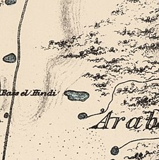
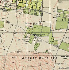
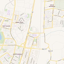
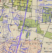
A series of historical maps of the area around Bayyarat Hannun (click the buttons) | |
Location within Mandatory Palestine | |
| Coordinates: 32°17′36″N 34°51′48″E / 32.29333°N 34.86333°E | |
| Palestine grid | 137/188 |
| Geopolitical entity | Mandatory Palestine |
| Subdistrict | Tulkarm |
| Date of depopulation | Early April 1948[3] |
| Population (1931) | |
| • Total | 559 with Ghabat Kafr Sur and 'Arab el Balawina[2] |
| Cause(s) of depopulation | Fear of being caught up in the fighting |
| Secondary cause | Expulsion by Yishuv forces |
Bayyarat Hannun was a Palestinian agricultural estate in the Tulkarm Subdistrict in Mandatory Palestine. It was depopulated during "Operation Coastal Clearing" on March 31, 1948, in the 1947–48 Civil War in Mandatory Palestine. It was located 16 km west of Tulkarm.
© MMXXIII Rich X Search. We shall prevail. All rights reserved. Rich X Search


