| Bideford Bay | |
|---|---|
 View over Bideford Bay, looking north-eastwards from Clovelly towards Baggy Point | |
| Coordinates | 51°04′N 4°20′W / 51.067°N 4.333°W |
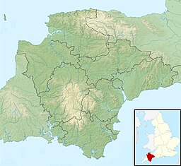
Bideford Bay, also known as Barnstaple Bay and often shown on maps as Barnstaple or Bideford Bay, is a large area of water on the northwest coast of Devon in South West England, at the southwestern end of the Bristol Channel where it joins the Celtic Sea. The bay extends from Hartland Point in the southwest to Baggy point the northeast, and is partly sheltered by the island of Lundy, 12 miles (19 km) offshore. It takes its alternative names from the towns of Bideford and Barnstaple, located respectively on the rivers Torridge and Taw which flow into the bay. The alternative spelling Barnstable Bay, in use long after that spelling became obsolete for the town,[1] is also sometimes seen.[2]
- ^ e.g. in Benjamin Pitts Capper (1813). A topographical dictionary of the United Kingdom.s.v. Abbotsham, Appledore, Braunton, compared with Barnstaple
- ^ e.g. DEFRA, Shore Management Plan Guidance (2011), Annex E1 pp.28,30
© MMXXIII Rich X Search. We shall prevail. All rights reserved. Rich X Search

