Back غابة بويندي العذراء Arabic Bosque impenetrable Bwindi Spanish جنگل بویندی Persian Hutan Perawan Bwindi ID Bwindi Impenetrable Forest Dutch Nieprzenikniony Las Bwindi Polish Бвінді Ukrainian 布温迪森林 Chinese
| Bwindi Impenetrable Forest | |
|---|---|
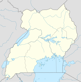
| Location | Kanungu District, Uganda |
| Nearest city | Kanungu |
| Area | 331 km2 (128 sq mi) |
| Governing body | National Environment Management Authority of Uganda |
| Website | https://bwindiimpenetrablenationalpark.com |
| Type | Natural |
| Criteria | vii, x |
| Designated | 1994 (18th session) |
| Reference no. | 682 |
| Region | Africa |


The Bwindi Impenetrable Forest is a large primeval forest located in south-western Uganda and is located in three districts of Kisoro, Kabale and Kanungu. The Bwindi forest is on the edge of the Albertine Rift, the western branch of the East African Rift, at elevations ranging from 1,160 to 2,607 metres (3,806 to 8,553 ft). The forest contains around 160 species of trees and over 100 species of ferns.[1]Bwindi Impenetrable Forest Reserve was set up in 1942 on the rim of the Rift Valley.[2]
- ^ "Bwindi Impenetrable National Park". UNESCO World Heritage Centre. Retrieved 2021-09-09.
- ^ "Bwindi Impenetrable Forest National Park Uganda". Bwindi. Retrieved 2024-06-22.
© MMXXIII Rich X Search. We shall prevail. All rights reserved. Rich X Search
