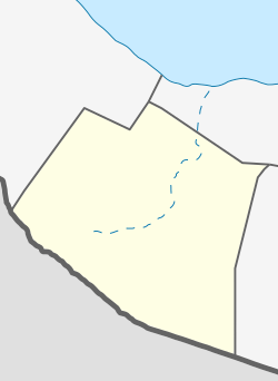
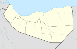
Gaanlibah
Gacan Libaax Ga'an Libah, Gan Libah[1] | |
|---|---|
Archaeological site | |
 Gaanlibah mountain range | |
| Coordinates: 9°51′41″N 44°48′53″E / 9.8613886°N 44.8148563°E | |
| Country | |
| Region | Maroodi Jeex & Hargeisa District |
| Time zone | UTC+3 (EAT) |
Gaanlibah or Ga'an Libah (Somali: Gacan Libaax) English : The lion hand) is a mountain range, archaeological site, and national park located in the Maroodi Jeex region of Somaliland.[2][3] Nearby are the Golis Mountains.[1][4] Its upper slopes are the source of the seasonal Togdheer river that flows through the city of Burao into the Nugaal Valley.[5]
- ^ a b Pease, A. E. (1913). "IV: Of dangerous game". The Book of the Lion. London: John Murray. pp. 46−68.
- ^ Hodd, Michael (1994). East African Handbook. Trade & Travel Publications. p. 640. ISBN 0844289833.
- ^ Ali, Ismail Mohamed (1970). Somalia Today: General Information. Ministry of Information and National Guidance, Somali Democratic Republic. p. 295.
- ^ UNEP-WCMC (2022). Protected Area Profile for Ga'an Libah from the World Database of Protected Areas. Accessed 26 February 2022. [1]
- ^ "Ga'an Libah Reserve | Visit Horn of Africa". visithornafrica.com/. Retrieved 2021-01-31.
© MMXXIII Rich X Search. We shall prevail. All rights reserved. Rich X Search


