Back Laughing Bird Cay (pulo sa Belize) CEB Laughing Bird Caye German Cayo Laughing Bird Spanish Caye Laughing Bird French Laughing Bird Cay Swedish لافنگ برڈ جزیرہ Urdu
| Laughing Bird Caye National Park | |
|---|---|
 | |
| Location | Stann Creek District, Belize |
| Nearest city | Placencia |
| Coordinates | 16°26′36″N 88°11′50″W / 16.443443°N 88.197250°W[1] |
| Area | 1.8 acres (0.73 ha) |
| Established | 1991 |
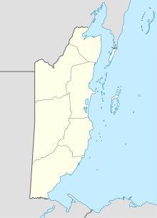
Laughing Bird Caye is an island off the coast of Placencia, Belize. On 21 December 1991, Laughing Bird Caye National Park was declared. It is spread over an area of 1.8 acres (0.73 ha). The island is named after a population of laughing gulls which previously bred there.[2]
- ^ "Laughing Bird Caye National Park". protectedplanet.net.
- ^ Rauscher, Freya (2007). Cruising Guide to Belize and Mexico's Caribbean Coast, Including Guatemala's Rio Dulce (3rd ed.). Madeira Beach, Florida: Windmill Hill Books. pp. 220–221. ISBN 0975575317.
© MMXXIII Rich X Search. We shall prevail. All rights reserved. Rich X Search
