Back قائمة مقاطعات وايومنغ Arabic Countys in Wyoming BAR Llista de comtats de Wyoming Catalan Rhestr o Siroedd Wyoming Welsh Liste der Countys in Wyoming German Κατάλογος κομητειών του Ουαϊόμινγκ Greek Anexo:Condados de Wyoming Spanish فهرست شهرستانهای وایومینگ Persian Luettelo Wyomingin piirikunnista Finnish Comtés de l'État du Wyoming French
| Counties of Wyoming | |
|---|---|
| Location | State of Wyoming |
| Number | 23 |
| Populations | 2,354 (Niobrara) – 100,984 (Laramie) |
| Areas | 2,004 square miles (5,190 km2) (Hot Springs) – 10,426 square miles (27,000 km2) (Sweetwater) |
| Government | |
| Subdivisions |
|
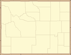
There are 23 counties in the U.S. state of Wyoming. There were originally five counties in the Wyoming Territory: Laramie and Carter, established in 1867; Carbon and Albany established in 1868; and Uinta, and annexed portion of Utah and Idaho, extending from Montana (including Yellowstone Park) to the Wyoming–Utah boundary.[1] On July 10, 1890, Wyoming was admitted to the Union with thirteen counties in it. Ten more counties were created after statehood.[1]
Two counties were renamed after their creation. Carter County was renamed Sweetwater County on December 1, 1869.[2] Pease County, formed in 1875, was renamed Johnson County in 1879.[3]
The Federal Information Processing Standard (FIPS) code, which is used by the United States government to uniquely identify states and counties, is provided with each entry.[4] Wyoming's code is 56, which when combined with any county code would be written as 56XXX. The FIPS code for each county links to census data for that county.[5]
- ^ a b "General Facts About Wyoming". State of Wyoming. Archived from the original on May 12, 2007. Retrieved July 20, 2007.
- ^ "Carter County Records". Wyoming State Archives. Archived from the original on May 3, 2008. Retrieved July 20, 2007.
- ^ "Wyoming Counties". American Local History Network. RootsWeb.com. Retrieved July 20, 2007.
- ^ "FIPS Publish 6-4". National Institute of Standards and Technology. Archived from the original on September 29, 2013. Retrieved July 20, 2007.
- ^ "EPA County FIPS Code Listing". US Environmental Protection Agency. Archived from the original on July 30, 2013. Retrieved July 20, 2007.
© MMXXIII Rich X Search. We shall prevail. All rights reserved. Rich X Search
