Mallaha
ملاّحة | |
|---|---|
 Bundles of dried papyrus being loaded onto a lorry. Mallaha, circa 1936. | |
| Etymology: "the salty site" | |
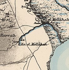
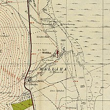
A series of historical maps of the area around Mallaha (click the buttons) | |
Location within Mandatory Palestine | |
| Coordinates: 33°05′24″N 35°34′55″E / 33.09000°N 35.58194°E | |
| Palestine grid | 204/277 |
| Geopolitical entity | Mandatory Palestine |
| Subdistrict | Safad |
| Date of depopulation | 25 May 1948[2] |
| Area | |
| • Total | 2,168 dunams (2.168 km2 or 536 acres) |
| Population (1931) | |
| • Total | 654[1] |
| Cause(s) of depopulation | Whispering campaign |
Mallaha (Arabic: ملاّحة) was a Palestinian Arab village, located 16 kilometers (9.9 mi) northeast of Safed, on the highway between the latter and Tiberias.[4] 'Ain Mallaha is the local Arabic name for a spring that served as the water source for the village inhabitants throughout the ages. It is also one of the names used in English to refer to the ancient Natufian era settlement at the site.
- ^ Cite error: The named reference
Census1931was invoked but never defined (see the help page). - ^ Morris, 2004, p. xvi, village #28. Also provides cause of depopulation.
- ^ Cite error: The named reference
Hadawi70was invoked but never defined (see the help page). - ^ Cite error: The named reference
Khalidip472was invoked but never defined (see the help page).
© MMXXIII Rich X Search. We shall prevail. All rights reserved. Rich X Search


