| Navesink River | |
|---|---|
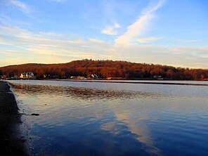
 The Navesink River in autumn | |
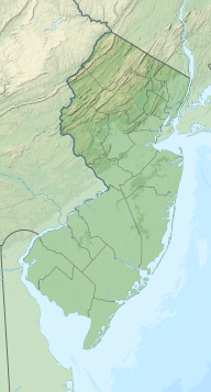
| Location | New Jersey |
| Coordinates | 40°22′19″N 74°02′15″W / 40.371975°N 74.037506°W |
| Type | Estuary |
The Navesink River is an estuary, approximately 8 mi (12 km) long in Monmouth County, New Jersey, United States. It is surrounded by the communities of Middletown (including the namesake Navesink CDP), Red Bank, Fair Haven, and Rumson.
Known officially as the North Shrewsbury River and upstream of Red Bank as the Swimming River, it is formed southwest of Red Bank by the confluence of the Swimming River with several smaller streams. It extends ENE along the north side of Red Bank, connecting to the Shrewsbury River estuary at Rumson, approximately 1 mi (1.6 km) south of the entrance of the Shrewsbury River into Sandy Hook Bay near Highlands.
© MMXXIII Rich X Search. We shall prevail. All rights reserved. Rich X Search

