This article needs additional citations for verification. (April 2020) |
Paltan Model Thana
পল্টন মডেল থানা | |
|---|---|
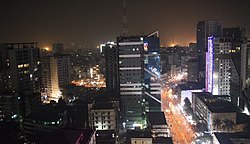
 Skyline of Paltan, Dhaka, Bangladesh | |
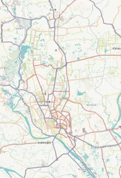
 Expandable map of vicinity of Paltan Thana | |
| Coordinates: 23°44′10″N 90°24′51″E / 23.7362°N 90.4142°E | |
| Country | |
| Division | Dhaka Division |
| District | Dhaka District |
| Established as a thana | 2005 |
| Area | |
| • Total | 1.42 km2 (0.55 sq mi) |
| Elevation | 23 m (75 ft) |
| Population (2011)[2] | |
| • Total | 59,639 |
| • Density | 41,999/km2 (108,780/sq mi) |
| Time zone | UTC+6 (BST) |
Paltan is a thana (precinct) of Dhaka, the capital of Bangladesh.[3] It is often said to be the center of Dhaka, dividing "Old Dhaka" and "New Dhaka". Paltan was made a thana in 2005 by then Prime Minister Begum Khaleda Zia. Paltan Thana was formed on 27 June 2005 comprising part of Motijheel thana.[4]
- ^ "Geographic coordinates of Dhaka, Bangladesh". DATEANDTIME.INFO. Retrieved 7 July 2016.
- ^ Bangladesh Bureau of Statistics (2011). "Population & Housing Census" (PDF). Bangladesh Government. Archived from the original (PDF) on 3 September 2017. Retrieved 17 April 2015.
- ^ Shamsun Nahar (2012). "Paltan Thana". In Sirajul Islam and Ahmed A. Jamal (ed.). Banglapedia: National Encyclopedia of Bangladesh (Second ed.). Asiatic Society of Bangladesh.
- ^ "Paltan Thana - Banglapedia". en.banglapedia.org. Retrieved 2023-02-12.
© MMXXIII Rich X Search. We shall prevail. All rights reserved. Rich X Search


