Back Physikalische Geodäsie German Fysikaalinen geodesia Finnish Fizikalna geodezija Croatian Geodesi fisik ID 物理大地测量学 Chinese
This article needs additional citations for verification. (October 2021) |

| Geodesy |
|---|
 |
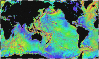
Physical geodesy is the study of the physical properties of Earth's gravity and its potential field (the geopotential), with a view to their application in geodesy.
© MMXXIII Rich X Search. We shall prevail. All rights reserved. Rich X Search