Pulteney Street | |
|---|---|
 | |
| Pulteney Street, looking south from near North Terrace | |
 | |
| Coordinates | |
| General information | |
| Type | Street |
| Location | Adelaide city centre |
| Length | 1.6 km (1.0 mi)[1] |
| Opened | 1837 |
| Major junctions | |
| North end | North Terrace Adelaide |
| South end | Adelaide |
| Location(s) | |
| LGA(s) | City of Adelaide |
| ---- | |


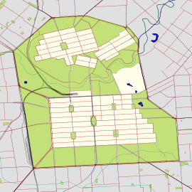
Pulteney Street is a main road which runs north-south through the middle of the eastern half of the Adelaide city centre, in Adelaide, South Australia. It runs north-south from North Terrace, through Hindmarsh and Hurtle Squares, to South Terrace, where it becomes Unley Road. It is the only one of the city centre's major north-south thoroughfares that does not continue northwards over North Terrace.
- ^ Google (1 June 2022). "Pulteney Street" (Map). Google Maps. Google. Retrieved 1 June 2022.
© MMXXIII Rich X Search. We shall prevail. All rights reserved. Rich X Search

