Back Semo La German Semo La Spanish Semo La Croatian Semo La ID Semo La Italian Semo La Dutch Semo La Polish 桑木拉大坂 Chinese
| Semo La | |
|---|---|
 Tibet S206 at Semo La | |
| Elevation | 5,565.1 m (18,258 ft)[1][2] |
| Traversed by | Tibet Provincial Road S206 |
| Location | Coqen, Ngari, Tibet, China |
| Range | Gangdise Shan, Transhimalaya, Tibetan Plateau |
| Coordinates | 30°06′36″N 85°25′54″E / 30.11000°N 85.43167°E |
| Semo La | |||||||
|---|---|---|---|---|---|---|---|
| Chinese name | |||||||
| Traditional Chinese | 桑木拉大坂 | ||||||
| Simplified Chinese | 桑木拉大坂 | ||||||
| Literal meaning | Semo La pass (dàbǎn is a Uyghur loanword for pass) | ||||||
| |||||||
| Tibetan name | |||||||
| Tibetan | བཟར་མོ་ལ | ||||||
| |||||||
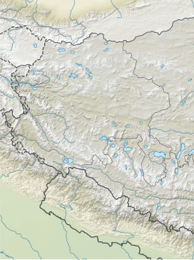
Semo La[3] (Chinese: 桑木拉大坂; Standard Tibetan: བཟར་མོ་ལ) is a mountain pass situated in Coqên County, Ngari Prefecture in the central part of Tibet and gives access to the Changtang region. It is found on the so-called Northern Route, north of Raka and south of Town of Coqên in Central Tibet. Travellers use this route as an alternative access route to western Tibet and Mount Kailash, especially when mud makes access by the more southern route difficult.[citation needed]
The road crossing the pass was once an old unsurfaced track travelled only by a weekly bus and trucks heading west to avoid the boggy parts of the south of the country.[4][2] The construction of paved road through the pass, Tibet Provincial Road S206, was finished in late 2015.[5]
- ^ Cite error: The named reference
mot_cnwas invoked but never defined (see the help page). - ^ a b Cite error: The named reference
iccwas invoked but never defined (see the help page). - ^ La means "pass" in Tibetan
- ^ Cite error: The named reference
catalan_expeditionwas invoked but never defined (see the help page). - ^ 郭翠雯 (2015-03-06). "省道206线措勤至国杰公路改建工程今年8月底完工". xzxw.com (in Chinese). China Tibet News Web. Retrieved 2017-02-05.
自治区省道206...预计将于2015年8月30日交工
© MMXXIII Rich X Search. We shall prevail. All rights reserved. Rich X Search
