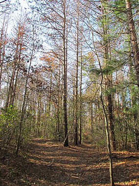
| Shawme-Crowell State Forest | |
|---|---|
 | |
| Location | Sandwich, Barnstable, Massachusetts, United States |
| Coordinates | 41°45′35″N 70°31′32″W / 41.75972°N 70.52556°W[1] |
| Area | 624 acres (253 ha)[2] |
| Elevation | 154 ft (47 m)[1] |
| Established | Unspecified |
| Governing body | Massachusetts Department of Conservation and Recreation |
| Website | Shawme-Crowell State Forest |
Shawme-Crowell State Forest is a Massachusetts state forest located in the town of Sandwich in Barnstable County. The forest lost much of its original acreage with the creation of Camp Edwards, which is part of the modern-day Joint Base Cape Cod. The forest is made up of pitch pine and scrub oaks and is managed by the Department of Conservation and Recreation.[3]
- ^ a b "Shawme-Crowell State Forest". Geographic Names Information System. United States Geological Survey, United States Department of the Interior.
- ^ Cite error: The named reference
2012acreagelistwas invoked but never defined (see the help page). - ^ Cite error: The named reference
dcrwas invoked but never defined (see the help page).
© MMXXIII Rich X Search. We shall prevail. All rights reserved. Rich X Search


