| Sheboygan River | |
|---|---|
 Riverfront in downtown Sheboygan near the river's mouth | |
| Location | |
| Counties | Fond du Lac; Sheboygan; Calumet; Manitowoc |
| Cities | Eden; Dundee; St. Peter; St. Cloud; Elkhart Lake; Kiel; Sheboygan Falls |
| Physical characteristics | |
| Source | |
| • coordinates | 43°42′35″N 88°16′04″W / 43.7097152°N 88.267878°W |
| Mouth | Lake Michigan |
• coordinates | 43°44′56″N 87°42′11″W / 43.74888°N 87.70314°W |
| Length | 81 mi (130 km) |


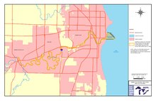
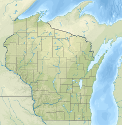
The Sheboygan River is a river flowing to Lake Michigan in eastern Wisconsin in the United States. It is about 81 mi (130 km) long[1] and enters the lake at the city of Sheboygan. The name of the river is Chippewa in origin, Shawb-wa-way-gun, meaning 'hollow bone', 'noise underground' or 'river disappearing underground'.[2][3]
- ^ U.S. Geological Survey. National Hydrography Dataset high-resolution flowline data. The National Map, accessed December 19, 2011
- ^ "Winnebago Took Its Name from an Indian Tribe". The Post-Crescent. December 28, 1963. p. 14. Retrieved August 25, 2014 – via Newspapers.com.

- ^ Herman, Jennifer (January 1, 2008). Wisconsin Encyclopedia. State History Publications. ISBN 9781878592613 – via Google Books.
© MMXXIII Rich X Search. We shall prevail. All rights reserved. Rich X Search

