Back سميثفيل (أوهايو) Arabic ایسمیتویل، اوهایو AZB Smithville (Ohio) Catalan Smithville (lungsod sa Tinipong Bansa, Ohio) CEB Smithville, Ohio Welsh Smithville (Ohio) Spanish Smithville (Ohio) Basque Smithville (Ohio) French Smithville, Ohio HT Smithville (Ohio) Italian
Smithville, Ohio | |
|---|---|
 Former middle school, demolished in 2014 | |
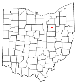
 Location of Smithville, Ohio | |
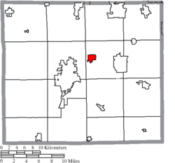
 Location of Smithville in Wayne County | |
| Coordinates: 40°51′45″N 81°51′37″W / 40.86250°N 81.86028°W | |
| Country | United States |
| State | Ohio |
| County | Wayne |
| Area | |
| • Total | 1.24 sq mi (3.22 km2) |
| • Land | 1.24 sq mi (3.20 km2) |
| • Water | 0.01 sq mi (0.01 km2) |
| Elevation | 1,073 ft (327 m) |
| Population (2020) | |
| • Total | 1,338 |
| • Density | 1,082.52/sq mi (417.98/km2) |
| Time zone | UTC-5 (Eastern (EST)) |
| • Summer (DST) | UTC-4 (EDT) |
| ZIP code | 44677 |
| Area code | 330 |
| FIPS code | 39-72788[3] |
| GNIS feature ID | 2399834[2] |
| Website | www |
Smithville is a village in Wayne County, Ohio, United States. The population was 1,338 at the time of the 2020 census. The village derives its name from Thomas Smith, a pioneer settler.[5]
- ^ "ArcGIS REST Services Directory". United States Census Bureau. Retrieved September 20, 2022.
- ^ a b U.S. Geological Survey Geographic Names Information System: Smithville, Ohio
- ^ "U.S. Census website". United States Census Bureau. Retrieved January 31, 2008.
- ^ "Elected Officials Council/BPA". Village of Smithville Official Website. Retrieved October 17, 2019.
- ^ Overman, William Daniel (1958). Ohio Town Names. Akron, OH: Atlantic Press. p. 127.
© MMXXIII Rich X Search. We shall prevail. All rights reserved. Rich X Search