Back Saint Arnaud (lungsod sa Ostralya) CEB سنت آرنو، ویکتوریا Persian St Arnaud French St Arnaud Italian St. Arnaud (Australia) Polish Saint Arnaud (ort i Australien) Swedish
| St Arnaud Victoria | |||||||||
|---|---|---|---|---|---|---|---|---|---|
 Main road of St Arnaud in 2022 | |||||||||
| Coordinates | 36°36′52″S 143°15′0″E / 36.61444°S 143.25000°E | ||||||||
| Population | 2,126 (UCL 2021)[1] | ||||||||
| Postcode(s) | 3478 | ||||||||
| Elevation | 240 m (787 ft) | ||||||||
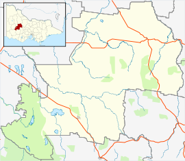
| Location | |||||||||
| LGA(s) | Shire of Northern Grampians | ||||||||
| State electorate(s) | Ripon | ||||||||
| Federal division(s) | Mallee | ||||||||
| |||||||||
St Arnaud /səntˈɑːnəd/ is a town in the Wimmera region of Victoria, Australia, 244 kilometres north west of the capital Melbourne. It is in the Shire of Northern Grampians local government area. At the 2021 census, St Arnaud had a population of 3,453.[2]
It is named after French marshal Jacques Leroy de Saint Arnaud, commander-in-chief of the army of the East. It is one of quite a number of towns, streets etc. named after people and places of the Crimean War.
- ^ Australian Bureau of Statistics (28 June 2022). "St Arnaud (urban centre and locality)". Australian Census 2021.
- ^ a b Australian Bureau of Statistics (28 June 2022). "St Arnaud (Suburbs and Localities)". 2021 Census QuickStats. Retrieved 14 November 2022.
© MMXXIII Rich X Search. We shall prevail. All rights reserved. Rich X Search
