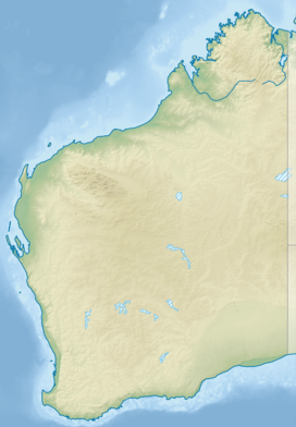
Back سلسلة جبال ستيرلينج ARZ Stirling Range (kabukiran sa Ostralya, State of Western Australia, lat -34,40, long 118,18) CEB Cordillera Stirling Spanish Chaîne de Stirling French Sterlingo kalnagūbris Lithuanian Stirlinggebergte Dutch Стерлинг (хребет) Russian Stirling Range Swedish
| Stirling Range (Koikyennuruff) | |
|---|---|
 Satellite image of the park. The sharp boundaries on all sides of the park show where agriculture immediately gives way to protected land. | |
| Highest point | |
| Peak | Bluff Knoll |
| Elevation | 1,099 m (3,606 ft) |
| Geography | |
| Country | Australia |
| State | Western Australia |
| Range coordinates | 34°24′S 118°09′E / 34.400°S 118.150°E |
The Stirling Range or Koikyennuruff is a range of mountains and hills in the Great Southern region of Western Australia, 337 kilometres (209 mi) south-east of Perth. It is over 60 kilometres (37 mi) wide from west to east, stretching from the highway between Mount Barker and Cranbrook eastward past Gnowangerup. The Stirling Range is protected by the Stirling Range National Park, which was gazetted in 1913, and has an area of 1,159 km2 (447 sq mi).
© MMXXIII Rich X Search. We shall prevail. All rights reserved. Rich X Search
