| A13 | ||||
|---|---|---|---|---|
| Route information | ||||
| Length | 41.7 mi[1] (67.1 km) | |||
| History | Route pre-dates inception of 1922 Roads list; first all-new bypass section opened 1924; last all-new section opened 1999; latest grade-separation completed 2013 | |||
| Major junctions | ||||
| West end | ||||
| ||||
| East end | Ness Road / Campfield Road in Shoeburyness | |||
| Location | ||||
| Country | United Kingdom | |||
| Constituent country | England | |||
| Primary destinations | Docklands, Barking, Dartford Crossing, Tilbury, Basildon, Southend | |||
| Road network | ||||
| ||||
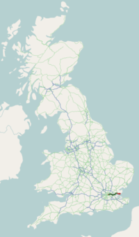
The A13 is a major road in England linking Central London with east London and south Essex. Its route is similar to that of the London, Tilbury and Southend line via Rainham, Grays, Tilbury, Stanford-Le-Hope & Pitsea, and runs the entire length of the northern Thames Gateway area, terminating on the Thames Estuary at Shoeburyness. It is a trunk road between London and the Tilbury junction, a primary route between there and Sadlers Hall Farm near South Benfleet, and a non-primary route between there and Shoeburyness.
© MMXXIII Rich X Search. We shall prevail. All rights reserved. Rich X Search


