| A31 | ||||
|---|---|---|---|---|
 A31 Road at St. Leonards, Dorset, England | ||||
| Route information | ||||
| Length | 72.6 mi (116.8 km) | |||
| Northeast segment | ||||
| Length | 36.6 mi[1] (58.9 km) | |||
| Northeast end | ||||
| Major intersections | ||||
| Southwest end | ||||
| Southwest | ||||
| Length | 36.0 mi[2] (57.9 km) | |||
| Northeast end | ||||
| Major intersections | ||||
| Southwest end | ||||
| Location | ||||
| Country | United Kingdom | |||
| Counties | Surrey, Hampshire, Dorset | |||
| Primary destinations | Winchester Farnham Ringwood | |||
| Road network | ||||
| ||||
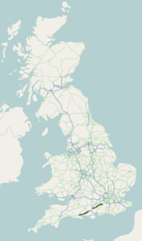
The A31 is a major trunk road in southern England that runs from Guildford in Surrey to Bere Regis in Dorset. Its most well known section is the Hog's Back, a hilly ridge forming part of the North Downs, in the Surrey stretch between Guildford and Farnham.
- ^ "Guildford GU1 4UL, UK to Bar End Roundabout, Winchester SO23 8RA, UK". Google Maps. Alphabet Inc. Retrieved 27 July 2023.
- ^ "Netley Marsh, United Kingdom to North St, Bere Regis, Wareham, UK". Google Maps. Alphabet Inc. Retrieved 27 July 2023.
© MMXXIII Rich X Search. We shall prevail. All rights reserved. Rich X Search


