This article needs additional citations for verification. (January 2009) |
| A45 | ||||
|---|---|---|---|---|
| Route information | ||||
| Maintained by Birmingham City Council, Solihull Metropolitan Borough Council, Coventry City Council, Warwickshire County Council, West Northamptonshire Council, North Northamptonshire Council, National Highways | ||||
| Length | 75.2 mi[1] (121.0 km) | |||
| Major junctions | ||||
| West end | ||||
| East end | ||||
| Location | ||||
| Country | United Kingdom | |||
| Counties | West Midlands, Warwickshire, Northamptonshire | |||
| Primary destinations | Birmingham, Birmingham Airport, Coventry, Northampton, Wellingborough | |||
| Road network | ||||
| ||||
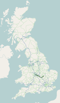
The A45 is a major road in England. It runs east from Birmingham past the National Exhibition Centre and the M42, then bypasses Coventry and Rugby, where it briefly merges with the M45 until it continues to Daventry. It then heads to Northampton and Wellingborough before running north of Rushden and Higham Ferrers and terminating at its junction with the A14 in Thrapston.
Prior to the construction of the M6 motorway, it was the main route from the Midlands to Ipswich and to the Haven ports. When the A1-M1 link road section of the current A14 opened in 1994, most of the A45 to the east of Cambridge was re-designated as the A14 and some sections to the west were downgraded to B-roads (including the B645 between Higham Ferrers and St Neots).
© MMXXIII Rich X Search. We shall prevail. All rights reserved. Rich X Search


