Ajanjul
عجنجول 'Ajanjul, Ajenjul[1] | |
|---|---|
| Etymology: Kh. Junjul: The ruin of Junjul[2] | |
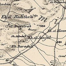
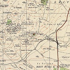
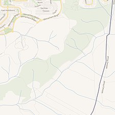
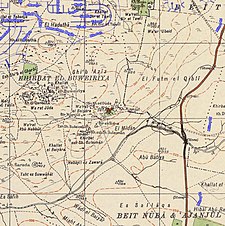
A series of historical maps of the area around Ajanjul (click the buttons) | |
Location within Mandatory Palestine | |
| Coordinates: 31°52′17″N 35°01′26″E / 31.87139°N 35.02389°E | |
| Palestine grid | 152/142 |
| Geopolitical entity | Mandatory Palestine |
| Subdistrict | Ramle |
Ajanjul (Arabic: عجنجول, Ajanjǔl) was a Palestinian Arab village in the Ramle Subdistrict of Mandatory Palestine. It was depopulated during the 1947–48 Civil War in Mandatory Palestine.
© MMXXIII Rich X Search. We shall prevail. All rights reserved. Rich X Search


