- See El Mansurah (disambiguation) for other sites with similar names.
Al-Mansura
المنصوره | |
|---|---|
Village | |
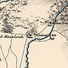
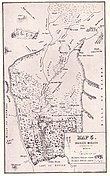 Al-Mansura (Mansoura) marked on John MacGregor's map. January 1869. | |
| Etymology: Mansûr’s place[1] | |
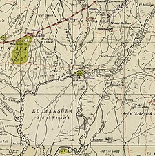
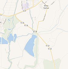
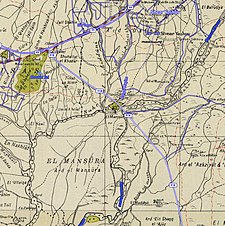
A series of historical maps of the area around Al-Mansura, Safad (click the buttons) | |
Location within Mandatory Palestine | |
| Coordinates: 33°12′59″N 35°38′26″E / 33.21639°N 35.64056°E | |
| Palestine grid | 210/291 |
| Geopolitical entity | Mandatory Palestine |
| Subdistrict | Safad |
| Date of depopulation | May 25, 1948[3] |
| Population (1945) | |
| • Total | 360[2] |
| Cause(s) of depopulation | Whispering campaign |
| Current Localities | She'ar Yashuv[4] |
Al-Mansura (Arabic: المنصوره) was a Palestinian Arab village in the Safad Subdistrict. It was located 31 kilometres (19 mi) northeast of Safad on the Banyas River, to the south of what is now Dafna.
© MMXXIII Rich X Search. We shall prevail. All rights reserved. Rich X Search

