Al-Mansura
المنصورة | |
|---|---|
Village | |
| Etymology: Building[1] | |
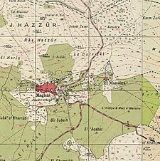
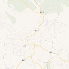
A series of historical maps of the area around Al-Mansura, Tiberias (click the buttons) | |
Location within Mandatory Palestine | |
| Coordinates: 32°53′29″N 35°25′01″E / 32.89139°N 35.41694°E | |
| Palestine grid | 189/255 |
| Geopolitical entity | Mandatory Palestine |
| Subdistrict | Tiberias |
| Date of depopulation | May 10, 1948 |
| Population | |
| • Total | 2,140 together with Maghar[2] |
| Current Localities | Chazon[3] Tefashot,[3] Kallanit,[3] Ravid[3] |
Al-Mansura (Arabic: المنصورة) was a Palestinian Arab village in the Tiberias Subdistrict. It was depopulated during the 1947–1948 Civil War in Mandatory Palestine on May 10, 1948. It was located 16 kilometres northwest of Tiberias.[3]
© MMXXIII Rich X Search. We shall prevail. All rights reserved. Rich X Search


