Back Bailādila Range CEB बैलाडिला पहाड़ियाँ Hindi Bailadila Range LLD Bailādila Range Swedish பைலாடிலா மலைத்தொடர் Tamil బైలడీలా Tegulu
| Bailadila Hills | |
|---|---|
 View of Bailadila hills | |
| Highest point | |
| Peak | Unnamed hill, Dantewada district, Chhattisgarh, India |
| Elevation | 1,210 m (3,970 ft) |
| Listing | List of Indian states and territories by highest point |
| Dimensions | |
| Length | 70 km (43 mi) SW-NE |
| Width | 25 km (16 mi) NW-SE |
| Geography | |
| Country | India |
| State | Chhattisgarh |
| Range coordinates | 18°42′00″N 81°13′10″E / 18.70000°N 81.21944°E |
| Climbing | |
| Easiest route | Hike |
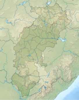
Bailadila Range, is a mountain range rising in the Deccan Plateau about 200 km west of the Eastern Ghats. It has been named 'Bailadila' because it resembles the hump of an ox. It is located near Kirandul town in the Dantewada district of southern Chhattisgarh, India.[2]
Hematite ore is found here, which is exported from Visakhapatnam port to Japan and South Korea.[citation needed]
© MMXXIII Rich X Search. We shall prevail. All rights reserved. Rich X Search
