Back Peninsula de Banks AN Banks yarımadası Azerbaijani Banks (lawis) CEB Banks Peninsula German Duoninsulo Banks Esperanto Península de Banks Spanish Banksin niemimaa Finnish Péninsule de Banks French Banks (poluotok) Croatian Penisola di Banks Italian
43°45′00″S 172°49′59″E / 43.750°S 172.833°E
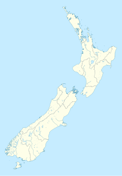
The location of Banks Peninsula in the South Island


Banks Peninsula is a peninsula of volcanic origin on the east coast of the South Island of New Zealand. It has an area of approximately 1,150 square kilometres (440 sq mi) and encompasses two large harbours and many smaller bays and coves. The South Island's largest city, Christchurch, is immediately north of the peninsula.
© MMXXIII Rich X Search. We shall prevail. All rights reserved. Rich X Search
