 Entrance to the Demilune, Fort Pulaski National Monument, Cockspur Island, Georgia. | |
| Geography | |
|---|---|
| Location | North Atlantic |
| Coordinates | 32°1′40″N 80°53′54″W / 32.02778°N 80.89833°W |
| Administration | |
| County | Chatham County, Georgia |
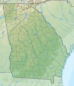
Cockspur Island is an island in the south channel of the Savannah River near Lazaretto Creek, northwest of Tybee Island, Georgia, United States. Most of the island is within the boundaries of Fort Pulaski National Monument. The island was so named on account of its bent shape. It was originally called Pepper Island and is also called Long Island.[1]
Historic buildings on the island include Fort Pulaski (built in 1847) and the Cockspur Island Lighthouse (built in 1837–39),[2] designed by John S. Norris, the New York City architect.
- ^ Krakow, Kenneth K. (1975). Georgia Place-Names: Their History and Origins (PDF). Macon, GA: Winship Press. p. 47. ISBN 0-915430-00-2.
- ^ U.S. Geological Survey Geographic Names Information System: Cockspur Island Lighthouse (historical)
© MMXXIII Rich X Search. We shall prevail. All rights reserved. Rich X Search


