| Comanche National Grassland | |
|---|---|
 Entering the grassland along Highway 160. | |
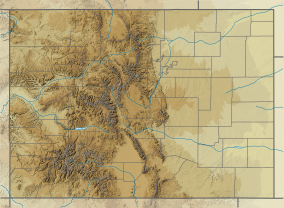
| Location | Baca, Otero, and Las Animas counties, Colorado, USA |
| Nearest city | La Junta, CO |
| Coordinates | 37°20′12″N 103°4′07″W / 37.33667°N 103.06861°W |
| Area | 443,081 acres (1,793.09 km2) |
| Established | June 23, 1960 |
| Governing body | U.S. Forest Service |
| Website | Comanche National Grassland |

Comanche National Grassland is a National Grassland located in southeastern Colorado, United States. It is the sister grassland of Cimarron National Grassland and contains both prairie grasslands and canyons. It is separated into two sections, each operated by a local ranger district, one of which is in Springfield and the other of which is in La Junta. The grassland is administered by the Forest Service together with the Pike and San Isabel National Forests, and the Cimarron National Grassland, from common headquarters located in Pueblo, Colorado.
© MMXXIII Rich X Search. We shall prevail. All rights reserved. Rich X Search


