Back سلسلة جبال كوندال ARZ Conondale Range CEB Conondale Range German Conondale Range LLD Conondale Range Swedish
| Conondale Range | |
|---|---|
 Southern foothills in Mount Kilcoy, 2015 | |
| Highest point | |
| Peak | Mount Langley (Queensland) |
| Elevation | 868 m (2,848 ft) |
| Coordinates | 26°50′S 152°45′E / 26.833°S 152.750°E |
| Geography | |
| Country | Australia |
| State | Queensland |
| Region | South East Queensland |
| Range coordinates | 26°50′S 152°45′E / 26.833°S 152.750°E |
| Parent range | Great Dividing Range |
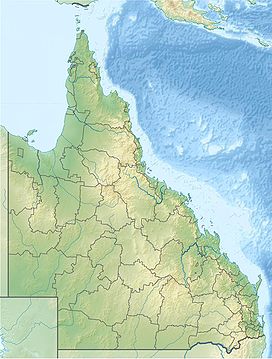
The Conondale Range is a mountain range in Queensland, located between Maleny, Kenilworth, Kilcoy and Jimna. The range is the most westerly part of the Sunshine Coast hinterland and part of the Great Dividing Range. The highest point on the range is Mount Langley reaching 868 m above sea level. This is also the highest point in the Brisbane River catchment.[1]
Lower foothills of the range around Kilcoy are used for grazing. Most of the steep forested slopes of the range are state forests and Conondale National Park. In the south, parts of Stony Creek are preserved in Bellthorpe National Park.
The mountains are the source of the Brisbane River. Creeks on the south of the range drain into the Stanley River and directly into Lake Somerset. To the north creeks flow into the Mary River.
- ^ "Conondale Range Great Walk". Department of Environment and Science. May 2018. Retrieved 15 August 2018.
© MMXXIII Rich X Search. We shall prevail. All rights reserved. Rich X Search
