Back Cumberland Island National Seashore CEB Cumberland Island National Seashore French Национален брег на островот Камберленд Macedonian 坎伯兰岛国家海岸 Chinese

| Cumberland Island National Seashore | |
|---|---|
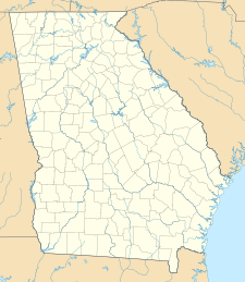
| Location | Camden County, Georgia, US |
| Nearest city | St. Marys, Georgia |
| Coordinates | 30°50′N 81°27′W / 30.833°N 81.450°W |
| Area | 36,415.39 acres (147.3679 km2) 18,700.34 acres (75.6776 km2) federal |
| Established | October 23, 1972 |
| Visitors | 40,291 (in 2005) |
| Governing body | National Park Service |
| Website | Cumberland Island National Seashore |
Cumberland Island National Seashore preserves most of Cumberland Island in Camden County, Georgia, the largest of Georgia's Golden Isles. The seashore features beaches and dunes, marshes, and freshwater lakes. The national seashore also preserves and interprets many historic sites and structures.
Instrumental in the creation and preservation of the seashore were several conservation organizations including the Sierra Club and the Georgia Conservancy.
The island is only accessible by boat. The Cumberland Island Visitor Center, Cumberland Island Museum, and Lang concession ferry to the island are located in the town of St. Marys, Georgia. Public access via the ferry is limited, reservations are recommended. Camping is allowed in the seashore. The 9,886-acre (40.01 km2) Cumberland Island Wilderness is part of the seashore.
© MMXXIII Rich X Search. We shall prevail. All rights reserved. Rich X Search

