Back غابة سان جيرمان اونلى ARZ Arbaro de Saint-Germain-en-Laye Esperanto Bosque de Saint-Germain-en-Laye Spanish جنگل سن-ژرمن-ان-له Persian Forêt de Saint-Germain-en-Laye French
| Forest of Saint-Germain-en-Laye French: Forêt de Saint-Germain-en-Laye | |
|---|---|
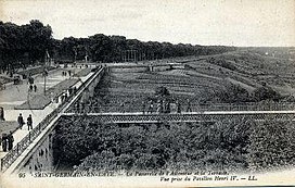
 The terrace adjoining the Castle of Saint-Germain. | |
| Map | |
| Geography | |
| Location | Yvelines, Île-de-France, France |
| Coordinates | 48°56′00″N 2°05′00″E / 48.93333°N 2.08333°E |
| Area | 35 km2 (14 sq mi) |
| Administration | |
| Status | Dominial |
| Ecology | |
| Dominant tree species | Sessile Oak, European Beech |
The Forest of Saint-Germain-en-Laye or Forêt de Saint-Germain-en-Laye, is a dominial forest of 35 km2 (14 sq mi) in area which lies in a meander of the River Seine, France. Situated 20 km (12 mi) West of Paris, between Saint-Germain-en-Laye, Maisons-Laffitte, Achères and Poissy, It is situated entirely within the commune of Saint-Germain. Essentially composed of oak (53%) and beech (18%), it is now a forest bordered by built up areas and divided by communication links: route nationales, A14 and the railway line from Paris to Caen. The Fête des Loges is, every year, organised in an open space near Saint-Germain.
© MMXXIII Rich X Search. We shall prevail. All rights reserved. Rich X Search
