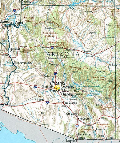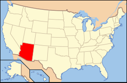

Arizona is a landlocked state situated in the southwestern region of the United States of America. It has a vast and diverse geography famous for its deep canyons, high- and low-elevation deserts, numerous natural rock formations, and volcanic mountain ranges. Arizona shares land borders with Utah to the north, the Mexican state of Sonora to the south, New Mexico to the east, and Nevada to the northwest, as well as water borders with California and the Mexican state of Baja California to the southwest along the Colorado River. Arizona is also one of the Four Corners states and is diagonally adjacent to Colorado.
Arizona has a total area of 113,998 square miles (295,253 km2), making it the sixth largest U.S. state.[1] Of this area, just 0.3% consists of water, which makes Arizona the state with the second lowest percentage of water area (New Mexico is the lowest at 0.2%).[1] Arizona spans about 335 miles (539 km) at its widest and 390 miles (628 km) at its longest, and has an average elevation of about 4,000 feet (1,200 m).[2] The geographic center of Arizona is located in Yavapai County, approximately 55 miles (89 km) east-southeast of the city of Prescott.
- ^ a b Summary of 2000 Census Table 17
- ^ Weir, Bill. The Land, arizonahandbook.com.
© MMXXIII Rich X Search. We shall prevail. All rights reserved. Rich X Search
