Back Ceann Bhinn Éadair Breton Howth Head German Cabo de Howth Spanish Howth lurmuturra Basque Howth Head French Howth Head NN Howth Head Polish Howth heid SCO Howth Head Slovak
This article includes a list of general references, but it lacks sufficient corresponding inline citations. (October 2019) |
Ceann Bhinn Éadair | |
|---|---|
 Aerial view of Howth Head looking south. | |
| Geography | |
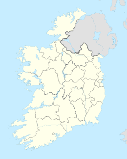
| Location | Ireland |
| Adjacent to | |
| Area | 11 km2 (4.2 sq mi) |
| Highest elevation | 171 m (561 ft) |
| Highest point | Ben of Howth |
| Administration | |
Ireland | |
| County | Dublin |
| Demographics | |
| Population | 8,294 (2016) |
| Pop. density | 754/km2 (1953/sq mi) |

Howth Head (/ˈhoʊθ/ HOHTH; Ceann Bhinn Éadair in Irish) is a peninsula northeast of the city of Dublin in Ireland, within the governance of Fingal County Council. Entry to the headland is at Sutton while the village of Howth and the harbour are on the north-eastern face. Most of Howth Head is occupied by the Hill of Howth, though there are other regions, such as the tombolo at Sutton, extensive beaches on the northern shores, and small ones in other parts. The Baily Lighthouse is on the southeastern part of Howth Head. Nearby are the districts of Baldoyle and Portmarnock, and adjacent is the nature reserve of North Bull Island.
© MMXXIII Rich X Search. We shall prevail. All rights reserved. Rich X Search

