Back Katahdin Woods and Waters National Monument German Katahdin Woods and Waters National Monument French
| Katahdin Woods and Waters National Monument | |
|---|---|
 Pond Pitch along the East Branch of the Penobscot River | |
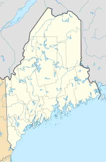
| Location | North Central Maine, United States |
| Nearest city | Bangor |
| Coordinates | 45°58′13″N 68°37′10″W / 45.970362°N 68.619336°W |
| Area | 87,563 acres (35,435 ha) |
| Established | Monument: August 24, 2016 |
| Governing body | National Park Service |
| Website | www |

Katahdin Woods and Waters National Monument is a U.S. national monument spanning 87,563 acres (137 sq mi) of mountains and forestland in northern Penobscot County, Maine, including a section of the East Branch Penobscot River.[1] The monument is located on the eastern border of Maine's Baxter State Park.[2] Native animals include moose, bobcats, bald eagles, salmon, and Canada lynx.[3]
- ^ "Fact Sheet: President Obama Designates National Monument in Maine's North Woods in Honor of the Centennial of the National Park Service". whitehouse.gov (Press release). White House Office of the Press Secretary. August 24, 2016. Retrieved August 27, 2016 – via National Archives.
- ^ "Obama signs order to create national monument in Maine's North Woods". Portland Press Herald. August 24, 2016. Retrieved August 24, 2016.
- ^ Pérez-Peña, Richard (August 24, 2016). "Obama Designates National Monument in Maine, to Dismay of Some". The New York Times. ISSN 0362-4331. Retrieved July 16, 2022.
© MMXXIII Rich X Search. We shall prevail. All rights reserved. Rich X Search

