Back Parc Nacional de Katavi Catalan Národní park Katavi Czech Katavi nationalpark Danish Katavi-Nationalpark German Nacia Parko Katavi Esperanto Parque nacional de Katavi Spanish پارک ملی کاتاوی Persian Katavin kansallispuisto Finnish Parc national de Katavi French Parco nazionale di Katavi Italian
| Katavi National Park | |
|---|---|
 Katavi National Park at sunset | |
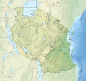
| Location | Tanzania |
| Nearest city | Mpanda |
| Coordinates | 6°50′S 31°15′E / 6.833°S 31.250°E |
| Area | 4471 km2 |
| Established | 1974 |
| Visitors | 3135 (in 2012[1]) |
| Governing body | Tanzania National Parks Authority |
| www | |
Katavi National Park is a Tanzanian national park created in 1974 and is located in Katavi Region, Tanzania. It is a very remote park that is less frequently visited than other Tanzanian national parks. The park is approximately 4,471 square kilometers (1,726 sq mi) in area,[2] which makes it the third largest national park in Tanzania. The park encompasses the Katuma River and the seasonal Lake Katavi and Lake Chada floodplains.[citation needed]
- ^ "Tanzania National parks Corporate Information". Tanzania Parks. TANAPA. Archived from the original on 20 December 2015. Retrieved 22 December 2015.
- ^ Katavi NP Archived 2008-02-06 at the Wayback Machine information from tanzaniaparks.com
© MMXXIII Rich X Search. We shall prevail. All rights reserved. Rich X Search


