Back خربة قمبازة (حيفا) Arabic خربة قمبازه ARZ Khirbat Qumbaza ID Chirbat Kumbaza Polish خربہ قمبازہ Urdu
Khirbat Qumbaza | |
|---|---|
| Etymology: Kumbazah, possibly from Persian for dome or cupola[1] | |
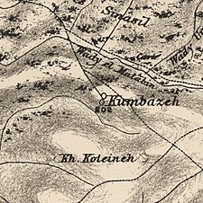
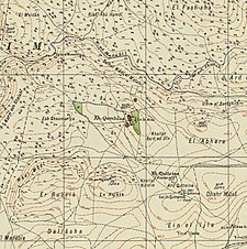
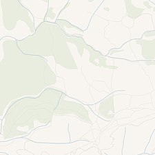
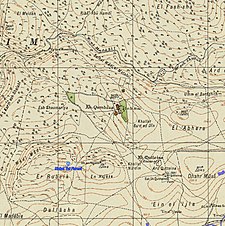
A series of historical maps of the area around Khirbat Qumbaza (click the buttons) | |
Location within Mandatory Palestine | |
| Coordinates: 32°37′55″N 35°1′34″E / 32.63194°N 35.02611°E | |
| Palestine grid | 152/226 |
| Geopolitical entity | Mandatory Palestine |
| Subdistrict | Haifa |
| Date of depopulation | May 1948[3] |
| Population (1931) | |
| • Total | 2,160[2] |
| Current Localities | Kerem Maharal[4] |
Khirbat Qumbaza was a Palestinian Arab village in the Haifa Subdistrict, located 21.5 km south of Haifa, 3 km away from Wadi al-Milh. It was depopulated during the 1948 Arab-Israeli War in May 1948.
- ^ Palmer, 1881, p. 150
- ^ Mills, 1932, p. 91. Number includes Ijzim, Khirbat Al-Manara, Al-Mazar, Shaykh al-Burayk, al-Washahiyya
- ^ given in Morris, 2004, p. xviii, village No. 165, followed by a (?)
- ^ Khalidi, 1992, p. 185
© MMXXIII Rich X Search. We shall prevail. All rights reserved. Rich X Search


