Khirbat al-Muntar
خربة المُنطار | |
|---|---|
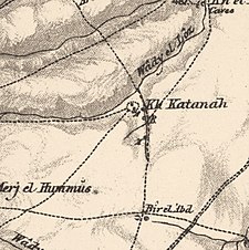
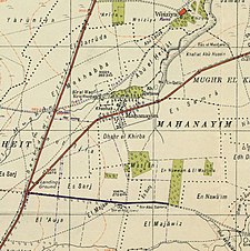
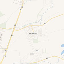
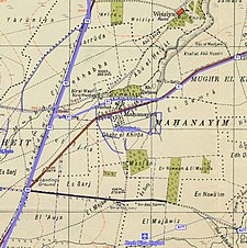
A series of historical maps of the area around Khirbat al-Muntar (click the buttons) | |
Location within Mandatory Palestine | |
| Coordinates: 32°59′21″N 35°34′13″E / 32.98917°N 35.57028°E | |
| Palestine grid | 205/265 |
| Geopolitical entity | Mandatory Palestine |
| Subdistrict | Safad |
Khirbat al-Muntar was a Palestinian Arab village in the Safad Subdistrict. It was depopulated during the 1948 Arab-Israeli War by Palmach's First Battalion and 'Oded Brigade of Operation Yiftach after resistance by the Syrian Army. It was located 8.5 km east of Safad.
© MMXXIII Rich X Search. We shall prevail. All rights reserved. Rich X Search


