Khirbat al-Sarkas
خربة السركس Khirbet as Sarkas | |
|---|---|
Village | |
| Etymology: lit. "The ruins of the Circassians" | |
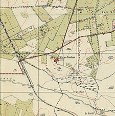
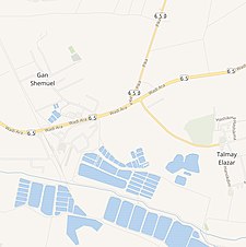
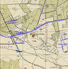
A series of historical maps of the area around Khirbat al-Sarkas (click the buttons) | |
Location within Mandatory Palestine | |
| Coordinates: 32°26′49″N 34°57′37″E / 32.44694°N 34.96028°E | |
| Palestine grid | 146/205 |
| Geopolitical entity | Mandatory Palestine |
| Subdistrict | Haifa |
| Date of depopulation | 15 April 1948[1] |
| Population (1931) | |
| • Total | 383 |
| Cause(s) of depopulation | Expulsion by Yishuv forces |
| Current Localities | Gan Shmuel,[2] Talmei Elazar[2] |
Khirbat al-Sarkas (Arabic: خربة السركس) was a village in Palestine, located 42 kilometres south of Haifa. It was depopulated during the 1948 Arab-Israeli war.
© MMXXIII Rich X Search. We shall prevail. All rights reserved. Rich X Search


