Kirad al-Ghannama
كراد الغنامة | |
|---|---|
Village | |
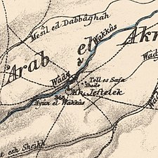
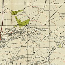
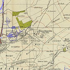
A series of historical maps of the area around Kirad al-Ghannama (click the buttons) | |
Location within Mandatory Palestine | |
| Coordinates: 33°01′18″N 35°35′14″E / 33.02167°N 35.58722°E | |
| Palestine grid | 205/269 |
| Geopolitical entity | Mandatory Palestine |
| Subdistrict | Safad |
| Date of depopulation | April 22, 1948[3] |
| Area | |
| • Total | 3,975 dunams (3.975 km2 or 1.535 sq mi) |
| Population (1945) | |
| • Total | 350[1][2] |
| Cause(s) of depopulation | Influence of nearby town's fall |
| Current Localities | Ayyelet ha-Shahar and Gadot |
Kirad al-Ghannama was a Palestinian Arab village in the Safad Subdistrict. It was depopulated during the 1947–1948 Civil War in Mandatory Palestine on April 22, 1948, by the Palmach's First Battalion of Operation Yiftach. It was located 11 km northeast of Safad. Wadi Mushayrifa ran between the two Kirad villages (al-Ghannama and al-Baqqara) and Wadi Waqqas supplied the village with its water requirements. The village contained the following khirbas: Khirbat Nijmat al-Subh, Tall al-Qadah, and Tall al-Safa.
- ^ a b Government of Palestine, Department of Statistics. Village Statistics, April, 1945. Quoted in Hadawi, 1970, p.70
- ^ Department of Statistics, 1945, p. 10
- ^ Morris, 2004, p. xvi, village #42. Also gives cause of depopulation. Morris notes that it was later resettled, followed by expulsion in 1956.
© MMXXIII Rich X Search. We shall prevail. All rights reserved. Rich X Search


