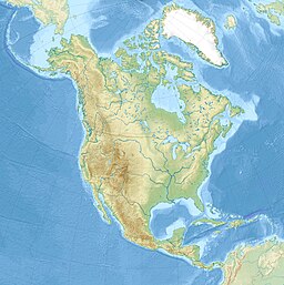
| Lake Atna | |
|---|---|
 Map showing one of the possible extents (pale green) of ancient Lake Atna | |
| Location | Southcentral Alaska |
| Coordinates | 62°17′04″N 145°45′00″W / 62.28444°N 145.75000°W |
| Type | Proglacial lake |
| Part of | Copper River Basin |
| Primary outflows |
|
| Surface area | 8,900–24,000 km2 (3,400–9,300 sq mi)[2] |
| Water volume | 2,300–6,000 km3 (550–1,440 cu mi)[3] |
| Surface elevation | 975 m (3,199 ft) (maximum)[2] |
Lake Atna (/ˈɑːtnə/; also known as Lake Ahtna) was a prehistoric proglacial lake that initially formed approximately 58 ka (thousand years ago) in the Copper River Basin, an area roughly centered around 245 km (152 mi) northeast of modern-day Anchorage, Alaska. The lake formed, and dispersed, during the Wisconsin glaciation. The lake existed in several forms, with several prominent shorelines observable in modern geology. At its greatest extent, the lake surface area was approximately half the size of modern-day Lake Ontario, and possibly much larger. The basin of the lake lay within an area bordered by the Alaska Range to the north, the Wrangell Mountains to the east, the Chugach Mountains to the south, and the Talkeetna Mountains to the west.
Lake Atna may have generated several of the largest ever glacial lake outburst floods. Old deposits from one of these floods may have added to the destruction caused by the 1964 Alaska earthquake.
- ^ Cite error: The named reference
spillwayswas invoked but never defined (see the help page). - ^ a b Wiedmer et al. 2010, p. 418
- ^ Wiedmer et al. 2010, p. 422
© MMXXIII Rich X Search. We shall prevail. All rights reserved. Rich X Search


