Back مالاكولا ARZ Malakula AST Малекула Bulgarian Malakula CEB Malakula German Malekula Esperanto Malakula Spanish مالاکولا Persian Malekula Finnish Malekula French
 | |
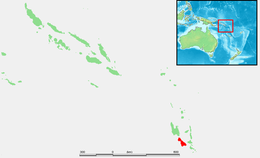
 Map of Malakula | |
| Geography | |
|---|---|
| Location | Pacific Ocean |
| Coordinates | 16°15′S 167°30′E / 16.250°S 167.500°E |
| Archipelago | New Hebrides |
| Area | 2,041 km2 (788 sq mi) |
| Highest elevation | 879 m (2884 ft) |
| Highest point | Mount Liambele |
| Administration | |
Vanuatu | |
| Province | Malampa |
| Largest settlement | Lakatoro |
| Demographics | |
| Population | 22,934 (2009) |
| Ethnic groups | Ni-Vanuatu |
Malakula Island, also spelled Malekula, is the second-largest island in the nation of Vanuatu, formerly the New Hebrides, in Melanesia, a region of the Pacific Ocean.
© MMXXIII Rich X Search. We shall prevail. All rights reserved. Rich X Search