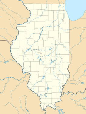
| Matthiessen State Park | |
|---|---|
 Lower Dells Falls | |
| Location | Deer Park, LaSalle County, Illinois, United States |
| Nearest city | Oglesby, Illinois |
| Coordinates | 41°17′44″N 89°01′31″W / 41.29556°N 89.02528°W[1] |
| Area | 1,700 acres (6.9 km2) |
| Established | 1943 |
| Governing body | Illinois Department of Natural Resources |
| dnr | |
Matthiessen State Park is an Illinois state park located a few miles south of the more famous Starved Rock State Park. The main entrances to both parks are located on Illinois State Route 178.
© MMXXIII Rich X Search. We shall prevail. All rights reserved. Rich X Search


