Back Ninety Six National Historic Site CEB Parque histórico Ninety Six Spanish Ninety Six National Historic Site French
| Ninety Six National Historic Site | |
|---|---|
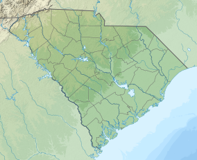
| Location | Ninety Six, SC, United States |
| Nearest city | Greenwood, South Carolina |
| Coordinates | 34°8′49″N 82°1′28″W / 34.14694°N 82.02444°W |
| Area | 1,022 acres (414 ha) |
| Established | August 19, 1976 |
| Visitors | 28,734 (in 2005) |
| Governing body | National Park Service |
| Website | Ninety Six National Historic Site |
Ninety Six and Star Fort | |
| Nearest city | Ninety Six, South Carolina |
| Architect | Henry Haldane |
| NRHP reference No. | 69000169 |
| Significant dates | |
| Added to NRHP | December 3, 1969[1] |
| Designated NHL | November 7, 1973[2] |
Ninety Six National Historic Site, also known as Old Ninety Six and Star Fort, is a United States National Historic Site located about 60 miles (96 kilometers) south of Greenville, South Carolina. The historic site was listed on the National Register in 1969,[1] declared to be a National Historic Landmark in 1973,[2] and established as a National Historic Site in 1976 to preserve the original site of Ninety Six, South Carolina, a small town established in the early 18th century. It encompasses 1,022 acres of property.
- ^ a b "National Register Information System". National Register of Historic Places. National Park Service. January 23, 2007.
- ^ a b "Ninety Six and Star Fort". National Historic Landmark summary listing. National Park Service. Archived from the original on 2012-10-04. Retrieved 2008-03-22.
© MMXXIII Rich X Search. We shall prevail. All rights reserved. Rich X Search

