 | ||||
| Route information | ||||
| Maintained by ODOT | ||||
| Length | 40.58 mi[1] (65.31 km) | |||
| Existed | 1976[2][3]–present | |||
| Major junctions | ||||
| West end | ||||
| East end | ||||
| Location | ||||
| Country | United States | |||
| State | Ohio | |||
| Counties | Athens, Washington | |||
| Highway system | ||||
| ||||
| ||||
| ||||

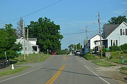
State Route 550 (SR 550) is an east–west state highway in the southeastern portion of the U.S. state of Ohio. The western terminus of SR 550 is at an interchange with U.S. Route 33 (US 33) just north of the city limits of Athens, immediately south of the southern terminus of SR 13. The eastern terminus of SR 550 is at an intersection with SR 7 just west of Marietta.
© MMXXIII Rich X Search. We shall prevail. All rights reserved. Rich X Search

