Back Enez Ons Breton Ons Catalan Illa de Ons CEB Ons German Ons Esperanto Isla de Ons Spanish Ons Basque Île de Ons French Illa de Ons Galician Isola di Ons Italian
 Satellite view of Ons Island and archipelago | |
| Geography | |
|---|---|
| Location | Atlantic Ocean |
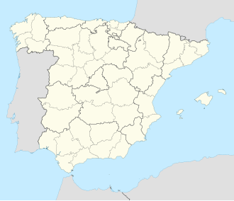
| Coordinates | 42°22′52″N 8°55′59″W / 42.381°N 8.933°W |
| Area | 4.458 km2 (1.721 sq mi) |
| Length | 6 km (3.7 mi) |
| Width | 1.5 km (0.93 mi) |
| Highest elevation | 128 m (420 ft) |
| Administration | |
Spain | |
| Autonomous community | Galicia |
| Province | Pontevedra |
| Municipality | Bueu |
| Demographics | |
| Population | 63 hab. (2021) |
The Ons Island (Galician: Illa de Ons; Spanish: Isla de Ons) is part of the Atlantic Islands of Galicia National Park. Situated in the Pontevedra estuary, it is celebrated for its breathtaking landscapes, rich gastronomy, and cultural significance.[1] Ons belongs administratively to the municipality of Bueu, which has a regular ferry boat connection to the island.[2]
- ^ "Ons Island, Galicia, an atlantic jewel | Mar de Ons". www.mardeons.es. Retrieved 2025-02-23.
- ^ "Archipiélago de Ons | Parque Nacional marítimo-terrestre de las Islas Atlánticas de Galicia". illasatlanticas.gal (in Spanish). Retrieved 2025-02-23.
© MMXXIII Rich X Search. We shall prevail. All rights reserved. Rich X Search
