This article needs additional citations for verification. (December 2016) |
| Pancake Bay Provincial Park | |
|---|---|
 The west side of Pancake Bay | |
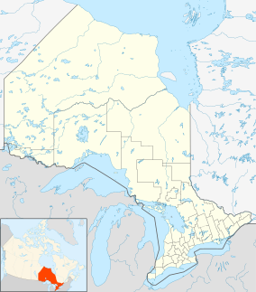
| Location | Ontario, Canada |
| Nearest city | Sault Ste. Marie, Ontario |
| Coordinates | 46°58′N 84°41′W / 46.967°N 84.683°W |
| Area | 17.23 km2 (6.65 sq mi) |
| Established | 1968 |
| Governing body | Ontario Parks |
Pancake Bay Provincial Park was established in 1968 by Ontario Parks. It is a recreation-class provincial park created to help preserve the fragile beach dune ecology. There are 325 campsites, including 160 with electricity. There are three comfort stations. Yurt camping is available in the park. Group camping sites are also available.
In 2006 Pancake Bay Provincial Park received an extension as part of Ontario's Living Legacy and now comprises 17.23 square kilometres (6.65 sq mi).[1]
- ^ "Pancake Bay Additions" (PDF). Province of Ontario. 2006.
© MMXXIII Rich X Search. We shall prevail. All rights reserved. Rich X Search

