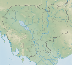
| Phnom Voar | |
|---|---|
 | |
| Highest point | |
| Elevation | 284 m (932 ft) |
| Coordinates | 10°29′00″N 104°18′00″E / 10.48333°N 104.30000°E |
| Geography | |
| Location | Cambodia |
Phnom Voar (Khmer: ភ្នំវល្លិ) is a small range of mountains in southern Cambodia. The mountain range is located in Damnak Chang'eaur District of Kep Province, near the border with Kampot Province. This relatively isolated range became notorious as a battleground during the Cambodian Civil War, when it was a base for communist insurgent forces and the target of significant bombing by B-52s and other air strikes.[1]
The main north south railway line between Phnom Penh and Sihanoukville runs along the base of the mountain. National road 33 between Kampong Trach and Kampot also runs nearby. However, there are few roads or paths within the mountains and only two permanent communities: Chamkar Bei and Rones villages.
- ^ "Potential UXO contamination in Krong Kaeb" (PDF). Cambodian Mine Action Centre (bombing data by the US Army). 2003. Retrieved 2009-01-16.
© MMXXIII Rich X Search. We shall prevail. All rights reserved. Rich X Search

